assessing coastal flood vulnerability to sea level rise enhanced by extreme events in preferential flow pathways

Assessing Coastal Flood Vulnerability To Sea Level Rise Enhanced By Extreme Events In Preferential Flow Pathways

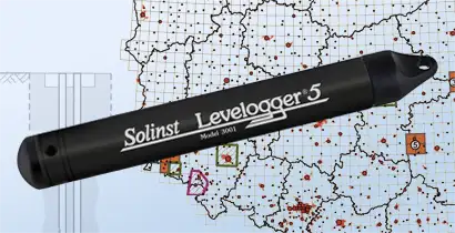
Building Community Resilience Community resilience in the face of sea level rise and extreme events, such as atmospheric rivers and highest astronomical tides (HAT), is a pressing concern for coastal regions worldwide, including coastal California. James Jacobs, a PhD candidate researcher at...

 

assessing low-temperature geothermal potential with temperature logging

Assessing Low-Temperature Geothermal Potential with Temperature Logging

With the growing need and interest in using clean or carbon-free energy, the Polish Geological Institute—National Research Institute (Polish Geological Survey) conducted a study to assess the potential for low-temperature geothermal energy in the country. The research was carried out…


polish mining institute finds levelogger data ideal for precise hydrogeological monitoring

Polish Mining Institute Finds Levelogger Data Ideal For Precise Hydrogeological Monitoring

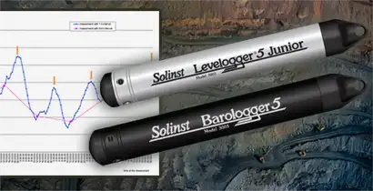
Researchers at the Institute of Open Cast Mining in Poland (Poltegor-Instytut) performed several studies to determine the suitability of Solinst Levelogger water Level dataloggers for hydrogeological monitoring of their mining operations. Through pumping tests and other studies, they showed...


levelogger data critical for water and leachate management at a queensland landfill

Levelogger Data Critical For Water And Leachate Management At A Queensland Landfill

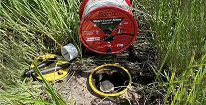
After a significant rainfall event in early 2022, it was found that groundwater levels at a landfill site in southeast Queensland, Australia had risen several metres above any previously recorded levels. As such, the operators of the landfill contracted Anderson Consulting to assist with site planning...


Solinst High Quality Groundwater Monitoring Instruments

solinst canada office building

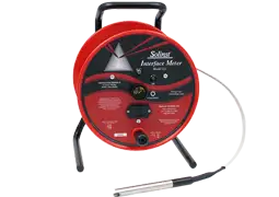
Uses: Groundwater Monitoring Instruments are designed to obtain surface or ground water samples, continuous or manual water level measurements and recordings of concentrations of various water parameters. The data collected can be used to estimate hydraulic conductivity and other aquifer conditions; to monitor potable water recharge areas; and to monitor tailings ponds, dewatering activities and water supply levels of mines.

Solinst equipment is used to monitor groundwater for general site investigations and for contaminant plume monitoring on: spill sites, remediation sites, chemical storage facilities, landfill sites and hazardous waste storage sites.